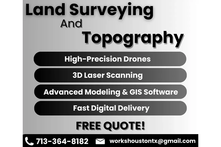
Land Surveying & Topography


Contacte al anunciante
Contacte al anunciante


Anuncios similares

3D RENDERING AND ANIMATIONS
HIGH-QUALITY 3D RENDERING AND VIRTUAL WALKTHROUGHS 🎥🏗️ 📝 DESCRIPTION: DO YOU WANT TO VISUALIZE YOUR PROJECT BEFORE CONSTRUCTION BEGINS?
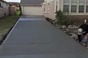
Cortez Construction
Cortez Construction tiene más de 15 años de experiencia y tenemos licencia y seguro. Nos aseguramos de trabajar con nuestros clientes y cent
Contruccion
Hola , soy trabajador de construccion te puedo hacer el trabajo de Driveway,Banquetas,Estampados Patio ,fundacion y adaptacion . llamame pa
As Built BIM Services USA
Houston’s Top As-Built BIM Services Provider Company United States Silicon Consultant LLC is dedicated to providing advanced As-Built BIM S
Anuncios similares
3D RENDERING AND ANIMATIONS
HIGH-QUALITY 3D RENDERING AND VIRTUAL WALKTHROUGHS 🎥🏗️ 📝 DESCRIPTION: DO YOU WANT TO VISUALIZE YOUR PROJECT BEFORE CONSTRUCTION BEGINS?
Cortez Construction
Cortez Construction tiene más de 15 años de experiencia y tenemos licencia y seguro. Nos aseguramos de trabajar con nuestros clientes y cent
Contruccion
Hola , soy trabajador de construccion te puedo hacer el trabajo de Driveway,Banquetas,Estampados Patio ,fundacion y adaptacion . llamame pa
As Built BIM Services USA
Houston’s Top As-Built BIM Services Provider Company United States Silicon Consultant LLC is dedicated to providing advanced As-Built BIM S